
I have no insider knowledge, so I walk by faith alone.
For anyone that missed the rabbit hole hint just now, a screenshot and a link.
https://anonup.com/thread/11469519
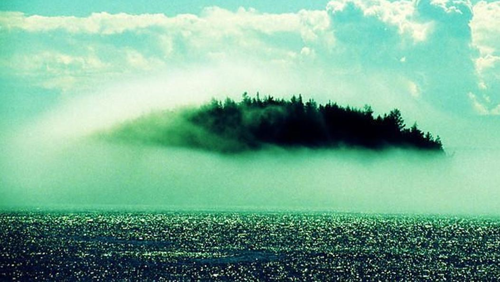
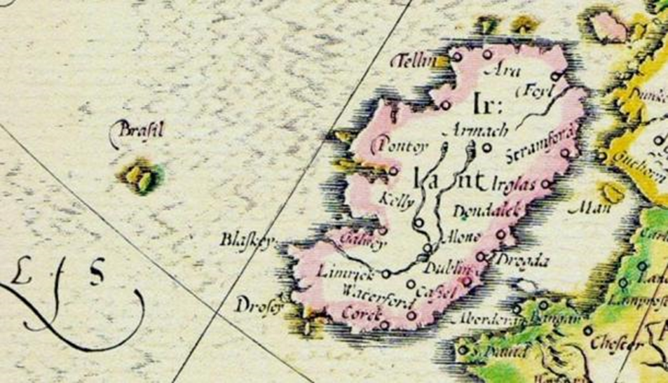
Hy Brasil –The HIGH KING Island
Hy-Brasil is a mysterious island appearing on maps from 1325 to the 1800s. It was said to be clouded in mist except for one day every seven years, when it became visible but still could not be reached. Stories about the island have circulated throughout Europe for centuries, that it was the promised land of saints or a paradise where an advanced civilization lived. On most maps, the island was located roughly 321 km (200 miles) off the west coast of Ireland in the North Atlantic Ocean. One of the most distinctive features of Hy-Brasil on those maps is that it often appears as a circle with a channel (or river) running east to west across it. Hy-Brasil (also called Hy-Breasal, Hy-Brazil, Hy-Breasil, and Brazir) is derived from the name Breasal meaning the High King. It was noted on maps as early as 1325.
I have no insider knowledge, so I walk by faith alone.
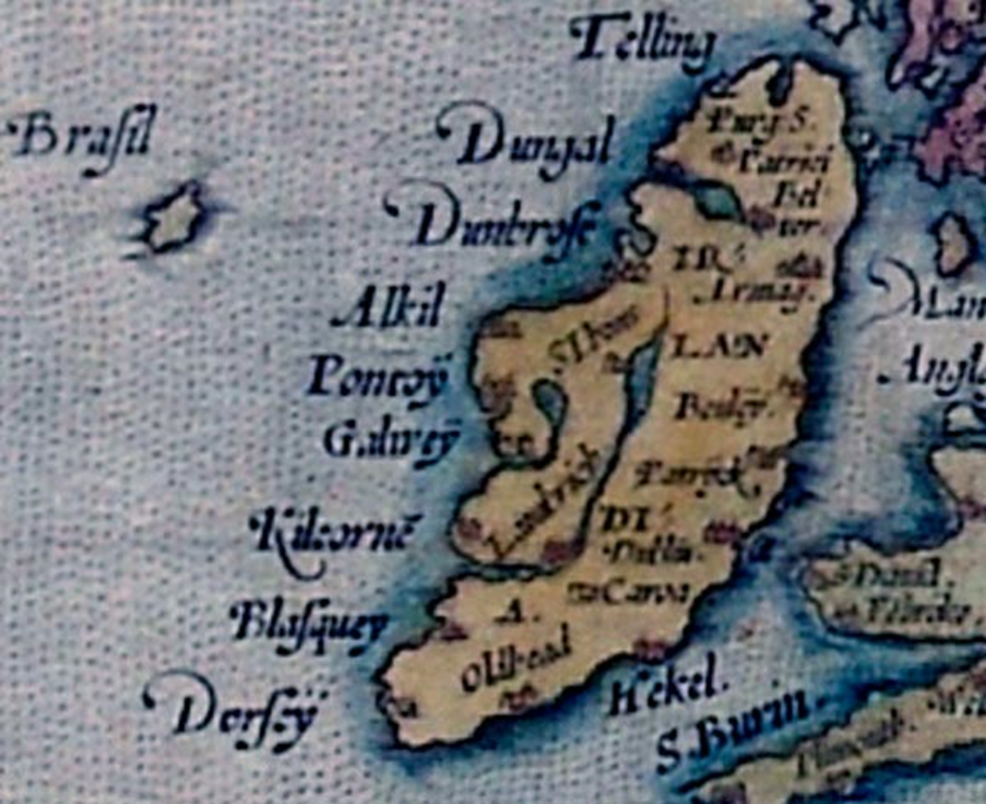
The middle image the ireland place names look more brythonic than godeilic. My brythonic is ok but my godeilic sucks.