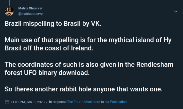
For anyone that missed the rabbit hole hint just now, a screenshot and a link.
https://anonup.com/thread/11469519
Hy Brasil and Rendlesham binary code...you definitely know your stuff and been down many rabbit holes.
Something subtle about that binary decode was they realized it was backwards meaning it was right to left. Many old languages were written right to left. Davinci wrote right to left as well.
I think Hy Brasil went under around 9700 BC during the rapid water rise due to Younger Dryas devastation. You follow Graham Hancock, Robert Schoch, and Randle Carlson?
I have no insider knowledge, so I walk by faith alone.
I am aware of the names but have gone down the Hapgood, Chan Thomas, Velikovski, Major White, Ben Davidson route, amongst others.
Whatever the route, ths 12000 yr cycle is always visible
I have no insider knowledge, so I walk by faith alone.
I'll respond again tomorrow as it is 0216 am here and I have work in the early morning. Kind regards.
Red-pilled and mind-blown by Eustace Mullins books, once upon a time... One foot down the rabbithole, one foot on The High Road.
Obviamente você não fala português brasileiro.
Actually that spelling is accurate. You are just uneducated and lack linguistic competence to make any such comment.
I have no insider knowledge, so I walk by faith alone.
That has previously been pointed out, it was by someone else with high discernment of empathy within information exchange.
Thanks you for your acerbic reaction.
Plant seeds. Live by Faith, Free The Children. wego.social. This is a WAR of HALOS vs Pitchforks & GOD WINS ALL WAYS
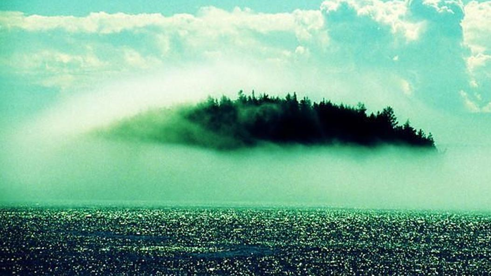
Hy Brasil –The HIGH KING Island
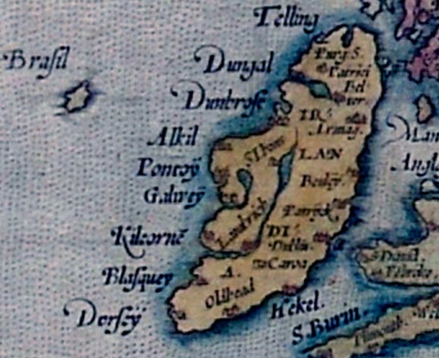
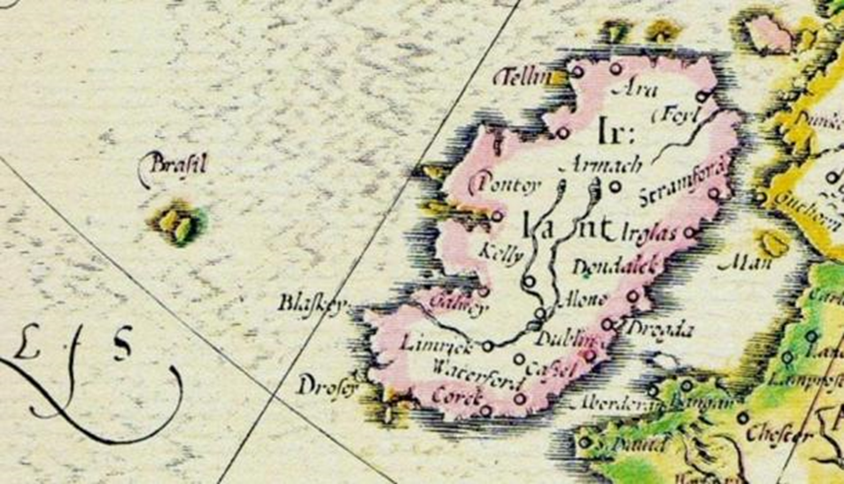
Hy-Brasil is a mysterious island appearing on maps from 1325 to the 1800s. It was said to be clouded in mist except for one day every seven years, when it became visible but still could not be reached. Stories about the island have circulated throughout Europe for centuries, that it was the promised land of saints or a paradise where an advanced civilization lived. On most maps, the island was located roughly 321 km (200 miles) off the west coast of Ireland in the North Atlantic Ocean. One of the most distinctive features of Hy-Brasil on those maps is that it often appears as a circle with a channel (or river) running east to west across it. Hy-Brasil (also called Hy-Breasal, Hy-Brazil, Hy-Breasil, and Brazir) is derived from the name Breasal meaning the High King. It was noted on maps as early as 1325.
I have no insider knowledge, so I walk by faith alone.
The middle image the ireland place names look more brythonic than godeilic. My brythonic is ok but my godeilic sucks.
With you crazy anons since the movement began. The original Hippy Chic has returned. Love you all~
"...in 1480, John Jay, Jr. left land in pursuit of the island."
Goosebumps.
My parents use to go on mission trips to Brazil every year, native Brazilians call it Brasil instead of Brazil. 🇧🇷 😊
I have no insider knowledge, so I walk by faith alone.
Ockam suggests your answer is the most likely, but its a good research project nonetheless.
With you crazy anons since the movement began. The original Hippy Chic has returned. Love you all~
The legend of Hy Brasil: a mythical island off the coast of Ireland | Ireland Before You Die
A mythical island off the coast of Ireland appeared on maps for centuries. Here we explore the fascinating Irish legend of Hy Brasil.
https://www.irelandbeforeyoudie.com/the-legend-of-hy-brasil-a-mythical-island-off-the-coast-of-ireland/


