
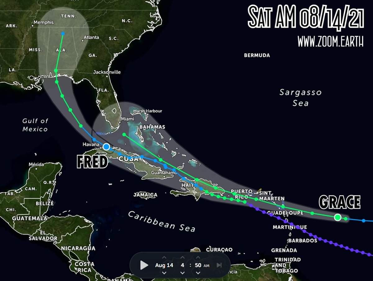
🔴Saturday early AM look at the tropics here on www.zoom.earth with TD Fred and TS Grace. Fred continues to bump west. Still expected to reach 60mph approaching the upper Gulf Monday afternoon. Florida rain chances continue to reduce for the main peninsula as the storm slides away. SFL already getting bands this AM. Grace formed overnight. TS Warnings for PR/VI. Still expected to have a lot of land interaction on its trek west. NHC keeping peak intensity at 50mph for now. Timing still puts it reaching near FLA midweek.
🗣SWFla... cloudy with thunder rolling... small blob of storm forming near by...
MWP Website: www.spaghettimodels.com
MWP Drunk Donkey shirts & more: bit.ly/3wyEtlR
MWP Supporter Option: bit.ly/3s3MLAQ
MWP 2022 Cruise Info: www.mwpcruise.com

I live in S. FL (north part of it) & the thunder last night was the strangest sounding Ive ever heard. It was very, very erie.