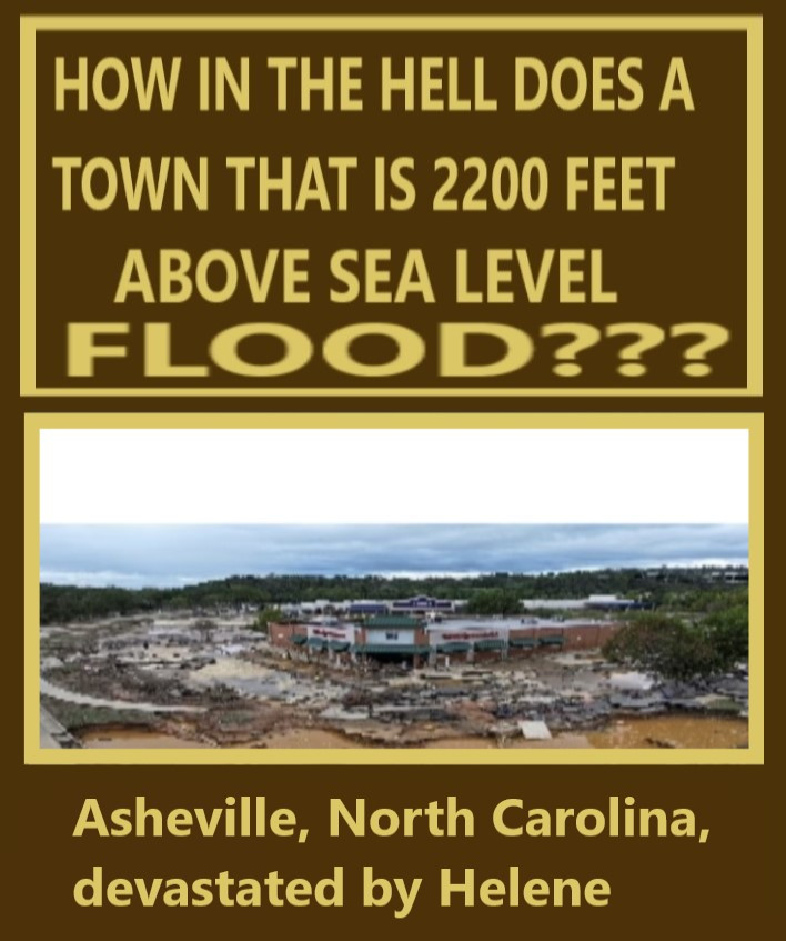
Boone is even higher elevation!
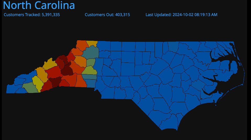
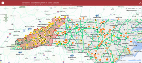
My banker was told that Kentucky got a low pressure system, which kept the hurricane over NC for 7 hours straight and it just dumped water! Asheville was the eastern side of the storm from where the eye of the storm was. The eye is plainly seen on this map, all the roads in West Western NC are open. Of course this was designed. I believe it.
1st QtheGathering was 2023! Supporter of Q& Q+,Vets, Family& Soul Tribe Vibes! Gratitude & Love for God, Jesus, Mother Mary
Yes, I agree, controlled weather. Anyone see any of the hurricane ships on camera, I would also like to see the portable pics of the hurricane making ships caught on camera! I believe they make it and control them!


