
I’m a healer a creator… Interested in Alternative healing projects & sustainable rebuilding with “solutions that don’t cost the earth”
LET ME DIE OR LIVE
KNOWING AFRICA WILL BE OKAY
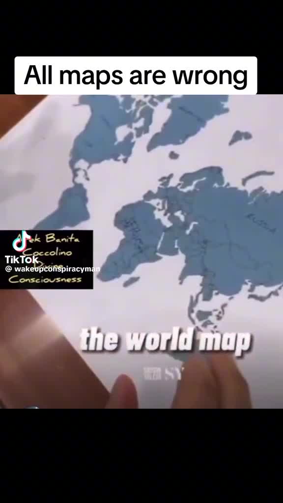

The answer is the science of map projections.
When you take a 3D globe and project it onto a 2D map you get projection distortion.
This is the classic exaggeration with the Mercator Map projection as shown. However it is most accurate along the equator.
The most accurate map is a 3D earth sphere globe. But most people do not want to walk around with a 3D globe is their pocket 😂 and to see the global map all at once requires 2D projections.
All projections distort. There are different types of projections. Each projection distorts very little in a particular region on the map, where regions away from this area are distorted.
Physical Geography 101. Everyone should this class in college …
😎👍👍