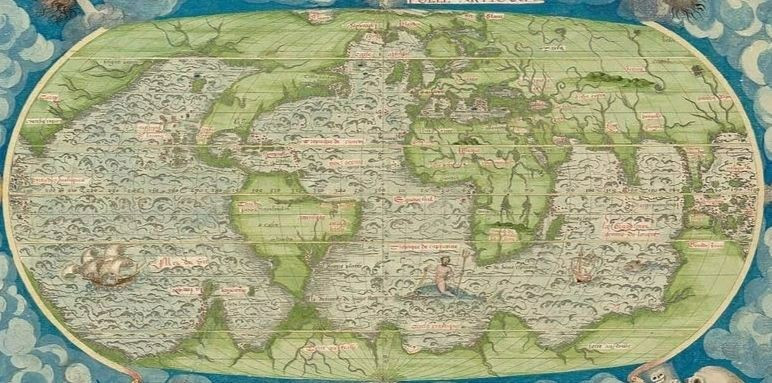
The National Archives of France has posted an atlas from 1556 and everything would be fine, if not for a number of strange details.
The atlas has a fairly detailed map of Antarctica, not only without the ice shell, but it is also connected to Eurasia and marked with river channels. The very fact of drawing the continental outlines of the southern continent before 1556 is thought-provoking.
There are other maps, where there is no connection with Eurasia, but we adhere to the fact - our southern continent was not covered with ice.
According to official history, only in 1820 will discover the land of Antarctica and generally prove that it is a continent.

