
Weather update:
Looking like snow isn't going to be the main focus of Elliot. It's the wind and cold temps. Unless you are in area that will experience lake effect snow, I'm doubting most places get more than 5-7".
BUT-Even if you only get an inch, the extreme cold temperatures and blistering wind will make the snow that has fallen appear blizzard like. Don't think for a second that minimal snow means it's not dangerous. Over exerted power grids could intermittently go down, or poles and lines could snap under the pressure of such high wind coupled with -40 temps (windchill).
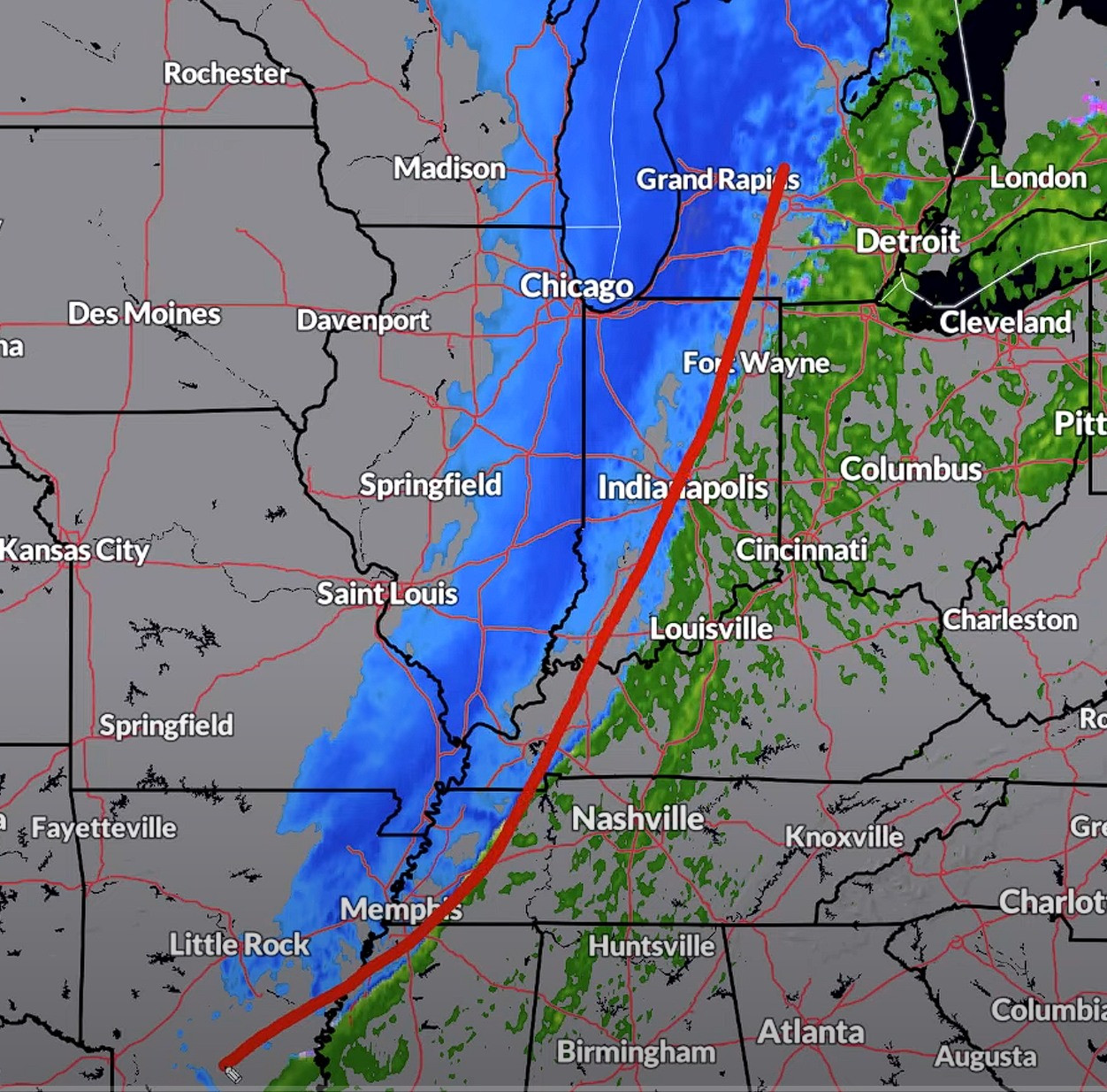
Image below is late Thursday night when the front moves though. The winds should come later on into Friday morning. Bomb Cyclone in the Ontario area with record low pressure (947) is expected and will intensify the already apocalyptic conditions.
STAY SAFE ANONS!

Im right on the lake here in Indiana always getting the lake effect snow 🤣