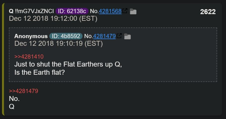
ONLY ON ANONUP AND TWITTER. I AM NOT ON TELEGRAM OR ANYWHERE ELSE.
Here's 3 different maps depicting similar North Pole aka Arctic. As some are focused on Antarctica, I believe that it is also very important to learn what is hidden on Arctic too.
Maps:
A. Urbano Monte map from 16th century
B. 1606 Mercator Hondius Map of the Arctic
C. Map that VK shared
1/2
What lies in the center on some maps is called Hyperborea (pic#2).
I am new to this concept of flat earth, moon is a mirror, the black sun & terra vista. Based on the old cartography, are we to assume that Terra Vista is actually Antarctica but it wasn't frozen back then? Any information would be greatly appreciated. :)
JESUS = KING || MAGA || #WWG1WGA || IFBAP: AU, T.me, Gab, Rumble/Locals, 107Daily, TRUTH, GETTR || XRP, XDC, XLM, HBAR, SHIB, JASMY
ONLY ON ANONUP AND TWITTER. I AM NOT ON TELEGRAM OR ANYWHERE ELSE.
I wouldn't label Earth as flat. It's a Realm.
Never Forget Why This War Was Started It Is All About Saving The Children


